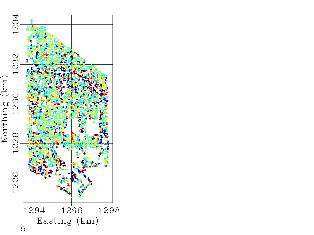
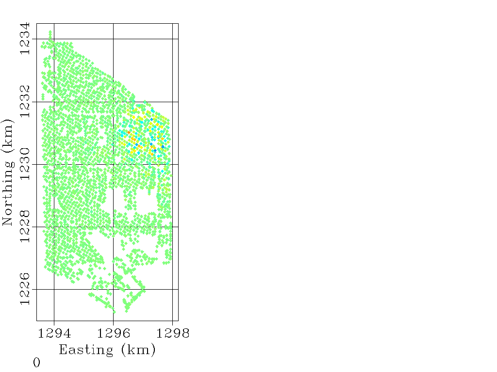
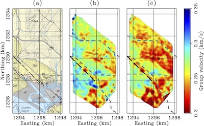
Using a dense seismic array in Long Beach, California, we investigate the effectiveness of using traffic noise for passive subsurface imaging. Spectral analysis reveals that traffic-induced vibrations dominate the ambient seismic noise field at frequencies between 3 and 15 Hz. Using the ambient-noise cross-correlation technique at these frequencies, we extract fundamental- and first-order-mode Rayleigh waves generated by Interstate 405 and local roads. We pick group travel times associated with the fundamental mode and use them in a straight-ray tomography procedure to produce group velocity maps at 3.0 Hz and 3.5 Hz. The velocity trends in our results correspond to shallow depths and coincide well with lithologies outlined in a geologic map of the survey area. The most prominent features resolved in our velocity maps are the low velocities to the north corresponding to less-consolidated materials, high velocities to the south corresponding to more-consolidated materials, a low-velocity zone corresponding to artificial fill in Alamitos Bay, and a low-velocity linear feature in the Newport-Inglewood Fault zone. Our resulting near-surface velocities can be useful for identifying regions that are susceptible to serious damage during earthquake-related shaking.
Data courtesy of Signal Hill Petroleum and Nodal Seismic.
Publications
Chang, Jason P., Sjoerd AL de Ridder, and Biondo L. Biondi. "High-frequency Rayleigh-wave tomography using traffic noise from Long Beach, California." Geophysics 81.2 (2016): B43-B53.
doi: 10.1190/geo2015-0415.1
Conference Presentations
Society of Exploration Geophysicists 2016 [abstract]
European Association of Geoscientists and Engineers 2016 [abstract]
American Geophysical Union 2015 [poster]
Stanford Big Data for Energy and Environment 2014 [poster]